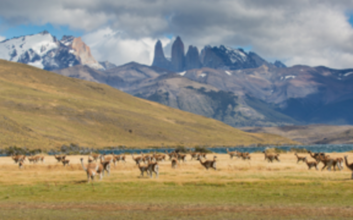
DOPA Explorer, which was first launched in April 2015 as part of the JRC's Digital Observatory for Protected Areas (DOPA), assesses the state of and the pressure on terrestrial, marine and coastal protected areas. It identifies those protected areas with important ecosystems and species and assesses the pressures they are exposed to because of human activities.
What's the mission of the Digital Observatory for Protected Areas (DOPA)?
DOPA provides a broad range of consistent and comparable indicators, based on global reference datasets, on protected area coverage, connectivity, species, ecosystems and pressures at country, ecoregion and protected area scale. These indicators are particularly relevant for Aichi Biodiversity Target 11 (Protected Areas) of the Convention on Biological Diversity (CBD) and the UN Sustainable Development Goals 14 (Life below Water) and 15 (Life on Land) and can support spatial planning, resource allocation, protected area development and management and national and international reporting.
What's new in DOPA Explorer 2.0?
Developed in collaboration with the UN Environment World Conservation Monitoring Centre (UNEP-WCMC), the International Union for Conservation of Nature (IUCN) and BirdLife International, the new release of DOPA Explorer is based on the World Database on Protected Areas (WDPA) of October 2017 and includes a completely revised interface that can be used on multiple devices (PCs, tablets and smartphones).
The indicators in DOPA Explorer 2.0 provide detailed assessments for all protected areas globally that are larger than 50 km2 (nearly 24 000 protected areas, compared to the 16 000 areas larger than 100 km2 that were included in the previous version). This means that the system now documents more than 95% of the global surface currently covered by protected areas.The more than 400 metrics computed by DOPA also include new indicators on the connectivity of protected area systems as well as indicators derived from Copernicus Earth observation services that highlight changes in the land cover, surface water and built-up areas in protected areas.
A new series of indicator factsheets provides detailed information on all the main indicators in the system.
Less visible to the public is the development of DOPA’s new data and modelling infrastructure which will allow DOPA Explorer to be updated more regularly (every three to four months).
How does DOPA support international conservation efforts?
DOPA Explorer is used by the Secretariat of the Convention on Biological Diversity (CBD), as well as by decision-makers from DG DEVCO, DG ENV and EU Delegations in developing countries, and will be critical to support the next CBD Conference of the Parties (COP 14), to be held in November this year, and in the preparation of the post-2020 global biodiversity framework and the next EU Biodiversity Strategy (2020-2030). Over the past years, the JRC has been working closely with the CBD to ensure that the DOPA tools and services assist countries around the world in planning, monitoring, evaluating and reporting their efforts to conserve biodiversity.
DOPA is also one of the key infrastructures underpinning the Biodiversity and Protected Areas Management Programme (BIOPAMA), which aims to improve the long-term conservation and sustainable use of natural resources in protected areas and surrounding communities within the 79 African, Caribbean and Pacific (ACP) countries. BIOPAMA assists these countries by providing analytical tools, datasets, capacity development and financial support.