The new atlas illustrates the role of water in European cities and informs citizens as well as local authorities and experts about good practices and cutting-edge developments that can contribute to ensuring that water is used more efficiently and sustainably, helping to save this valuable resource. Detailed factsheets in the Urban Water Atlas for Europe present the state of water management in more than 40 European cities and regions, together with a number of overseas examples.
Tibor Navracsics, Commissioner for Education, Culture, Youth and Sport, responsible for the European Commission's in-house science service, Joint Research Centre (JRC), said: “Water scarcity affects more than 10 percent of Europe's population. To foster innovative water management and its public acceptance, scientific and technological knowledge must be accessible for all. The Urban Water Atlas for Europe presents scientific and technical information in an intuitive and creative way, making it easy for everyone to understand what is at stake and act accordingly. This is another great example of how the JRC helps to deliver solutions to the challenges facing Europe's citizens and the spaces they live in."
Karmenu Vella, Commissioner for Environment, Maritime Affairs and Fisheries, added: “Water is an irreplaceable resource for society, but it is only renewable if well managed. Home to three out of four EU citizens, cities have no other choice but to become water-wise, and better manage this precious resource. A strong water policy is also essential for delivering on Agenda 2030 for Sustainable Development both in the EU and internationally.”
The atlas was presented today during the meeting of Ministers in charge of water management from the 43 members of the Union for the Mediterranean (UfM), hosted by the Maltese Government in Valetta. The publication is one of the results of the BlueSCities project, funded by Horizon 2020, the EU research and innovation programme.
'City Blueprint' shows performance in water management
The atlas provides an overall 'City Blueprint' for each city. This is a composite index, developed by KWR Watercycle Research Institute, that displays 25 indicators related to water, waste and climate change in one infographic, summarising at a glance how well a city currently manages its urban water resources. This information is important to help identify priorities for further action and investment, but also to visualise strengths and weaknesses. The 'Blue City Index' is the overall score based on these 25 indicators.
Of the researched cities, Amsterdam has the highest Blue City Index score. The municipality pays a lot of attention to quality of life and has an ambitious climate and energy programme. Amsterdam has always taken a lead in national and international water management, and is strong in wastewater treatment and climate change adaptation. Reduction of solid waste production is indicated as a potential area of improvement for the city.
Water footprint influenced by food preferences
The atlas also presents cities' 'Urban Water Footprint', a measure of domestic water use as well as water use embodied in agricultural products consumed. It aims to raise awareness of the large amount of water used to produce food and the striking difference in water needs among different diets. For example, healthier and low-meat diets could save as much as 30% to 40% of water currently used for food production.
Novel approach to presenting water issues
The atlas provides a wealth of information on best practices, viable solutions and cutting-edge developments that can be used to inspire city officials and urban water experts. It also attempts to change traditional perceptions of water being a free and infinite resource, and to encourage conservation.
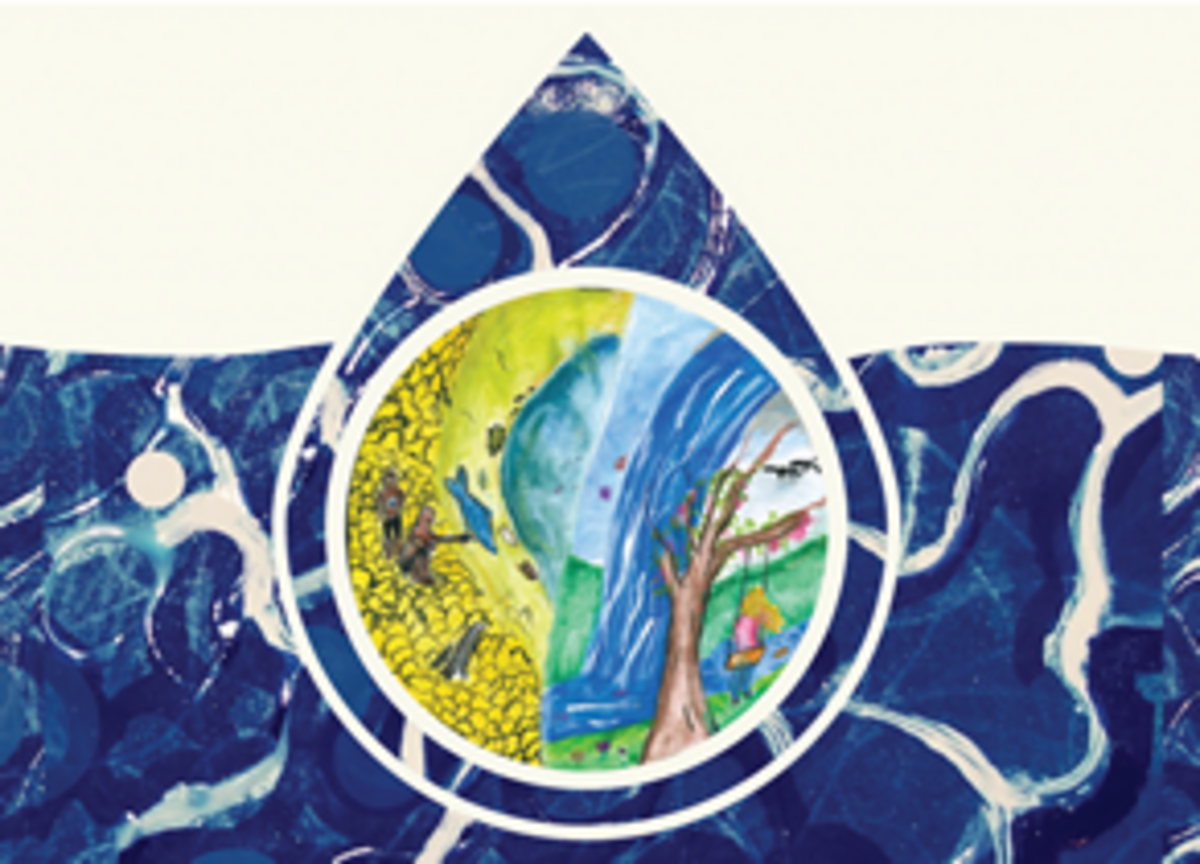
It also aims to encourage citizens to take an interest and get involved in water issues by combining the work of scientists, artists, politicians and municipal stakeholders with that of schoolchildren and teachers.
The atlas is presented in an innovative, accessible and attractive format, combining science and arts.
Online tools to measure city performance
The Urban Water Atlas for Europe comes with two online tools that can help cities manage water more sustainably. The City Blueprint is an interactive tool to support strategic decision-making by making it easy to access and understand relevant results and expert knowledge. The tool can present up to 25 different aspects of water management to give an overview of a city's strong and weak points, and provides tailor-made options for making urban water services more sustainable.
The City Amberprint is a tool for assessing a city’s progress towards becoming smart and sustainable. The indicators take into account the city's environmental impact, quality of life, risks (e.g. interruption of service provision), and actions taken by the city to improve all three. These indicators can be used to evaluate the current state of sustainability in cities, inform decision-makers and politicians about the current situation in the city, inform citizens and facilitate public engagement.
Background
The Urban Water Atlas stems from a collaboration of the European Commission's in-house science service – the Joint Research Centre – with Fundació CTM Centre Tecnològic, the KWR Watercycle Research Institute, the European Innovation Partnership on Water, and the Network for Water in European Regions and Cities, NETWERC H2O. The editors of the Atlas are Bernd Gawlik (JRC), Peter Easton (Easton Consulting), Stef Koop (KWR Watercycle Research Institute), Kees van Leeuwen (KWR Watercycle Research Institute) and Richard Elelman (Fundació CTM Centre Tecnològic).
It fits into a long tradition of other JRC-produced atlases, including those on soils and soil management across the globe and the European Atlas of Forest Tree Species.
Links:
Press release: Urban Water Atlas for Europe (also available in French and German)