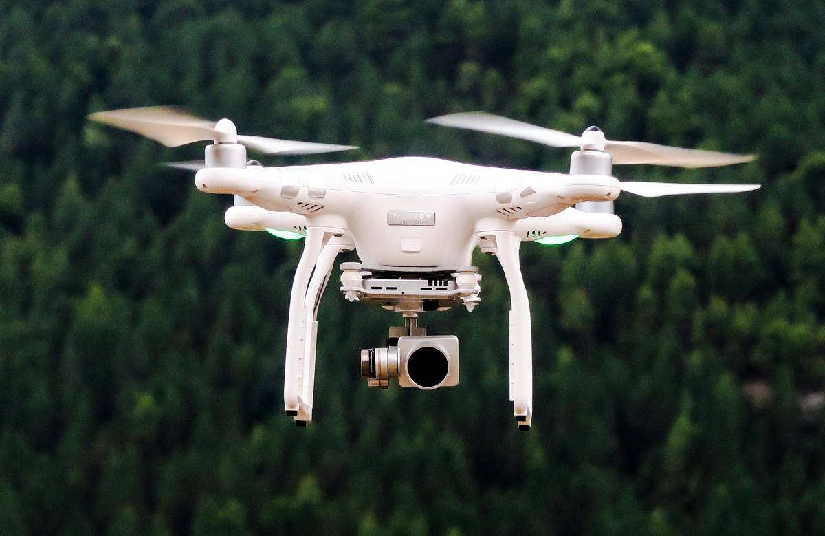
UKCEH is running an interactive online course on using drones to map habitats. This interactive course will give you the skills you need to take images collected from a UAV platform (drone), process the images into a scene suitable for image processing, and generate classified images. We will talk you through the steps necessary to produce high-quality and accurate maps that are suitable for mapping vegetation and landforms.
Learn more at https://www.ceh.ac.uk/training/using-drones-map-habitats
Course dates are 11 & 12 October 2023 and the cost is £529 for students, £579 for professional. You can save £70 by booking an early bird ticket before the end of May. Sign up at https://enterprise.mitingu.com/ceh-events/using-drones-to-map-habitats-october-2023. There will be a short software familiarisation session on Thursday 5 October 2023 (2-4 pm BST)
Please contact Dr Ingo Schüder via UKCEHtraining@ceh.ac.uk or +44 (0)1491 69 2225 to explore your organisation's training needs, including bespoke training courses.